
Their own storybook explorer
Use their approved character and favourite adventure theme to create a map that feels like part of their story.
Create the character and wizard references first →3 FOR 2 ON CANVAS PRINTS · FREE EXPRESS DELIVERY

LITTLE EXPLORERS. THEIR OWN WORLD.
Start with a playful style, then make a map that belongs in their world. Explore gentle watercolour, paper-cut layers and storybook details, with editable prompts you can make your own.
Find a map for their little world: playful landmarks, paper-cut colours, gentle dinosaurs or a storybook adventure. Download an example to enjoy at home, or change a prompt to create your own version.
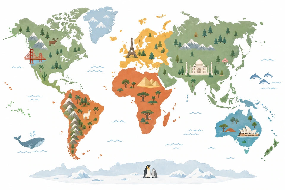
A few familiar buildings give you things to spot together. Their placement and scale are decorative.
This downloads the pictured example, not a newly personalised result.
MAKE YOUR OWN VERSION
Image to attach
Text only. No reference image is required.
Personalise the prompt below, then use it in your image tool to create your own map.
Create one original landscape-format illustrated world map for a child’s bedroom, featuring a small selection of recognisable landmarks.
Use a clean, flat picture-book illustration style with large areas of colour, smooth shapes and fine, gently drawn outlines.
Make the world map the main subject. Show recognisable, simplified continent silhouettes in their familiar arrangement, including Greenland, major islands and Antarctica. Keep the complete map comfortably inside a balanced 3:2 landscape composition.
Use soft sage green, dusty blue, warm terracotta, pale ochre and cream against a pure white background. Give the continents coordinated, contrasting colours so their shapes are easy to distinguish.
Place a few simple landmark illustrations approximately where they belong: the Golden Gate Bridge in California, the Eiffel Tower in France, the pyramids in Egypt, the Taj Mahal in India and the Sydney Opera House in Australia. Make each landmark charming and recognisable, with enough space to read clearly.
Add softly rounded Andes mountains in South America and a small pair of penguins in Antarctica. Keep all details secondary to the map and avoid covering important coastlines.
Leave the oceans mostly white, with just a few delicate blue wave marks. Keep the composition spacious, cheerful and easy for a young child to explore.
Show every continent and landmark completely, with generous white margins.
Return one finished artwork. No people, lettering, labels, logos, watermark, frame or room mockup.
Start with something they love, then carry the idea across their room.
Use their approved character and favourite adventure theme to create a map that feels like part of their story.
Create the character and wizard references first →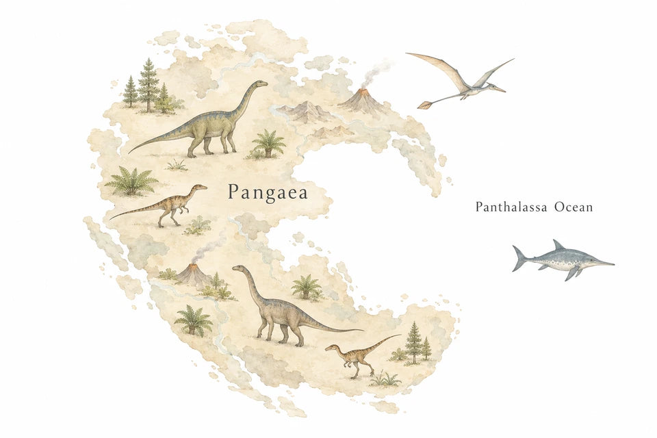
Start with the gentle prehistoric map, then pair it with their initial or a sleepy dinosaur in the same colours. This is decorative artwork, not a scientific reconstruction.
Make a matching initial or bedtime picture →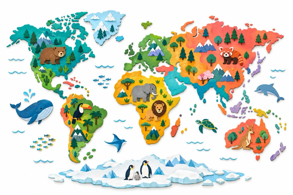
Build a set around the map: their big initial and a print of the things they love can carry the same colours into the rest of the room.
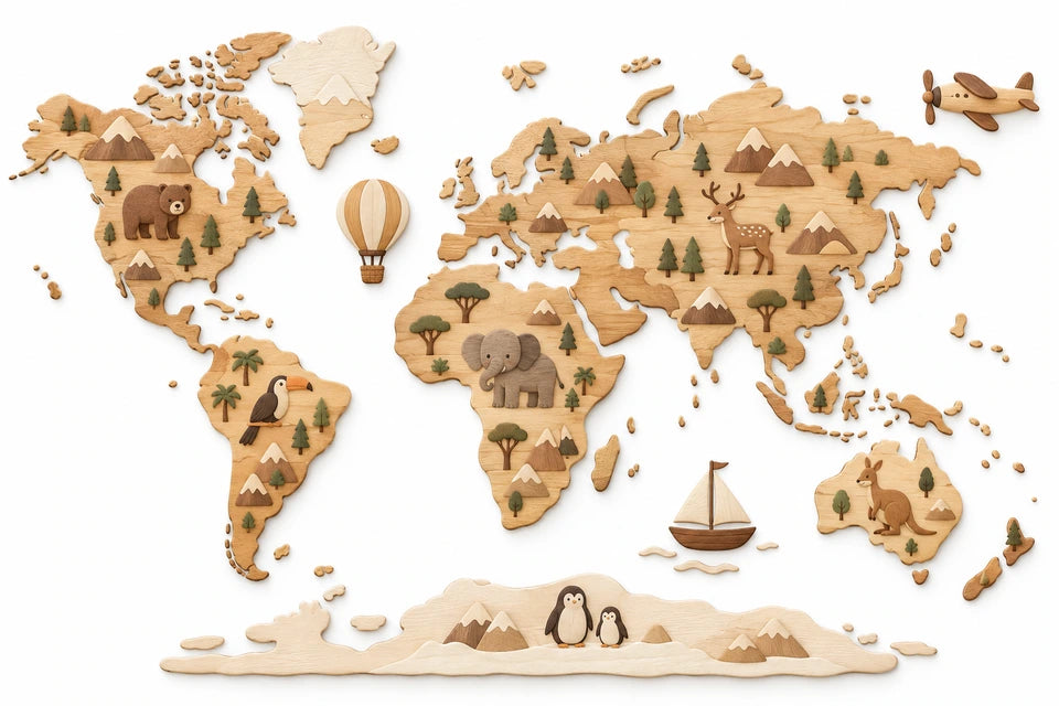
Use soft watercolour or illustrated wooden textures to coordinate the map with a quieter room. The wood effect is part of a flat digital illustration.

Make the map the starting point for a family wish list. A companion word print can celebrate the places you hope to explore, keeping the map itself clear.
Choose a country or continent together, then invent a little adventure around it. Keep the story as a separate activity beside your bedroom print.
A map gives the set its theme. An initial makes it theirs, and favourite words add the little things that matter.
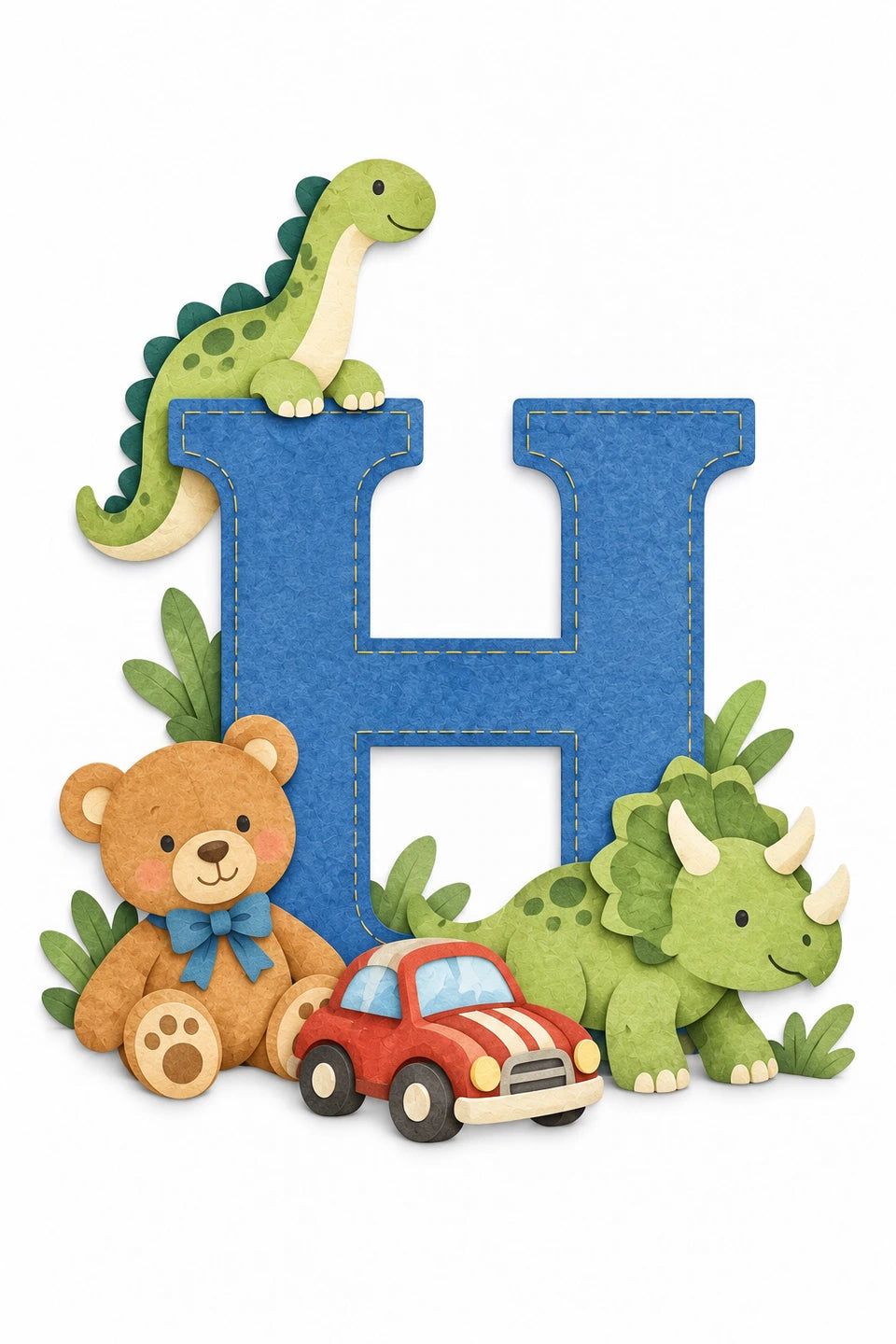
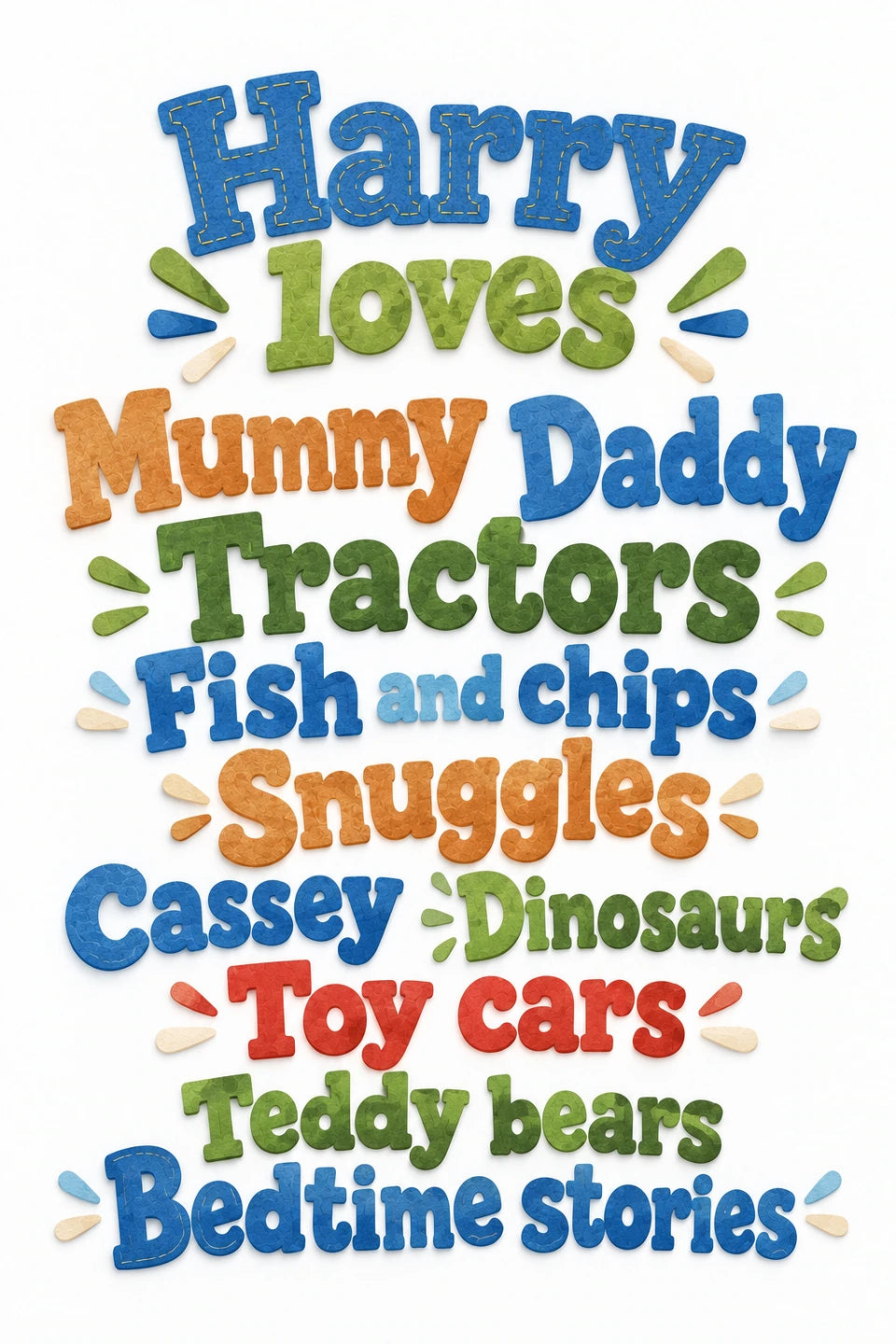
Edit the initial prompt → · Edit the favourite-words prompt →
Print at home and test the arrangement with paper templates, or order physical prints. 3 for 2 on canvas and poster prints: mix eligible physical prints; the lowest-priced base print is free. Frames and extras are charged separately. Digital files do not count as print items. Standard UK delivery is free; regional or oversize charges are shown in your basket.
Use your finished map as the style reference, then create a separate print with your favourite places.
Explore the matching favourite-words artwork and editable prompt →
Choose a creature or a landmark and invent a journey together. For a colouring activity, attach the approved map and ask for simple black outlines, fewer details and larger open areas.
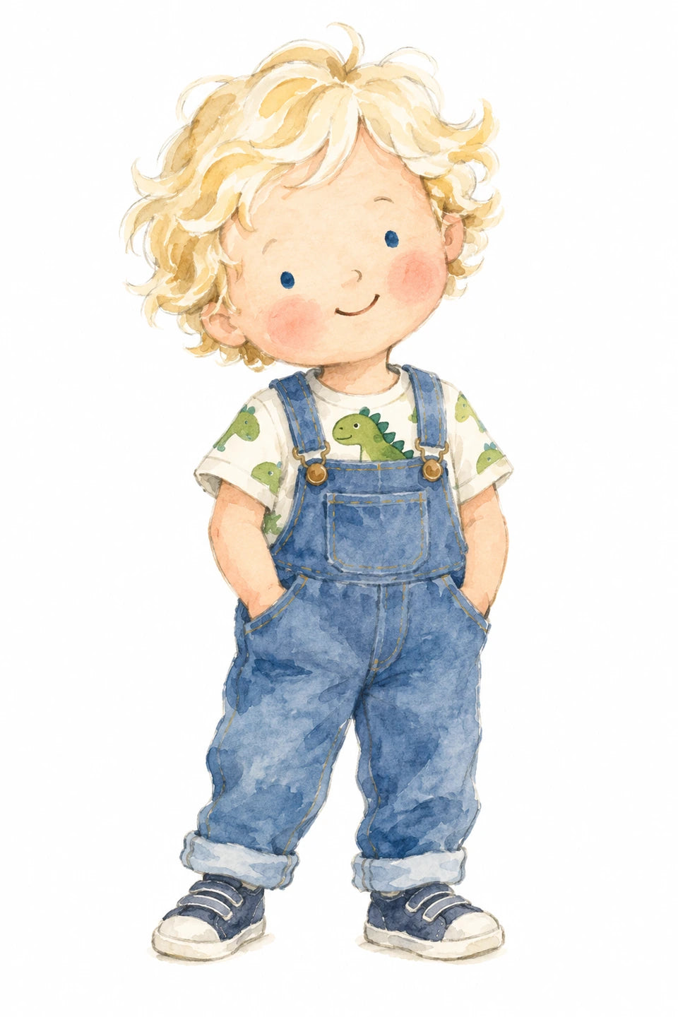
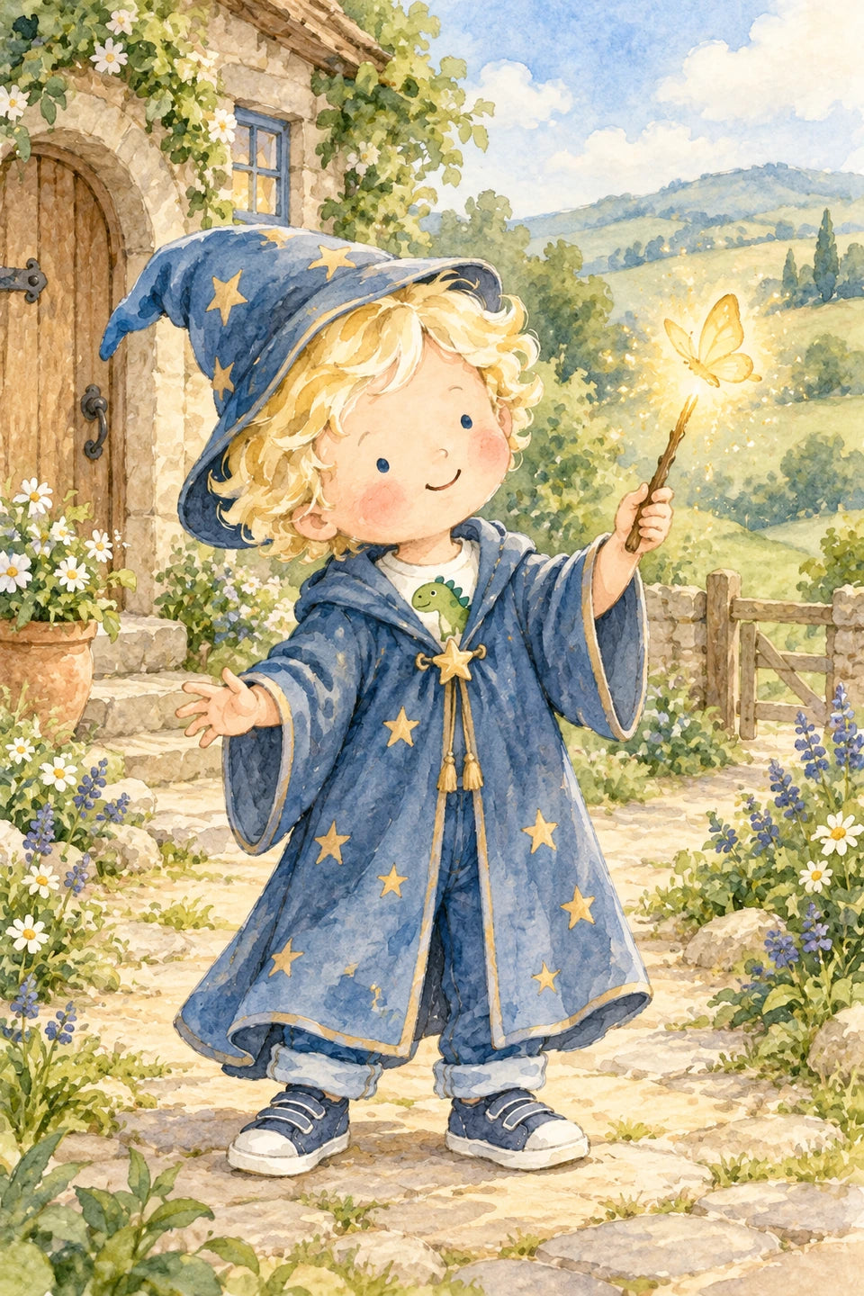
The magical map uses both references. Start with an approved character and adventure outfit, then keep the whole figure outside the map’s coastlines. The map’s full prompt remains editable; match its identity and clothing descriptions to your own references.
A4 landscape · image 297 × 198 mm · approximately 6 mm above and below, before printer margins.
Proportion preview only. This does not export, resize or change the original download. Your printer’s non-printable margins may make the image smaller. Dark maps keep the visible white paper margin.
Choose poster sizes, files and framing →
Browse picture frames at IKEA ↗
Available creator choices: canvas A5–A1; posters A5–A0. Check the current crop and quote; these ranges do not mean every image suits every size.
Download a favourite example, or use its prompt and stated references to create your own version.
Image to attach
Text only. No reference image is required.
Create one original landscape-format world-map illustration for a child’s bedroom, with clearly readable geographical names and a gentle explorer theme.
Use a soft watercolour picture-book style, with delicate pencil outlines and a quiet palette of warm beige, cream, soft sage, dusty blue and muted ochre against a pure white background.
Show recognisable continent silhouettes in their familiar arrangement, including Greenland, major islands and Antarctica. Keep the entire map comfortably inside a balanced 3:2 landscape composition with generous white margins.
Clearly label the seven continents: North America, South America, Europe, Africa, Asia, Australia and Antarctica.
Label the five oceans in their correct areas: Pacific Ocean, Atlantic Ocean, Indian Ocean, Arctic Ocean and Southern Ocean.
Add a small selection of country names in their correct locations: Canada, United States, Brazil, Egypt, South Africa, Russia, India and China. Use one Australia label to identify both the country and continent.
Make continent names the most prominent, ocean names slightly smaller and country names smaller but still comfortably readable. Use simple, upright lettering in dark warm grey. Keep every name correctly spelled, clearly separated and unobstructed.
Add a few small, friendly illustrations: a bear in North America, a toucan in South America, an elephant in Africa, a tiger in Asia, a kangaroo in Australia and penguins in Antarctica. Include one small hot-air balloon and a simple propeller plane in spacious ocean areas.
Leave plenty of clear space for the names. Keep the animals and travel details secondary to the map, with a calm, uncluttered composition.
Return one finished artwork. Include only the requested geographical names. No decorative wording, people, logos, watermark, frame or room mockup.
Image to attach
Text only. No reference image is required.
Create one original landscape-format illustrated world map for a child’s bedroom, featuring a small selection of recognisable landmarks.
Use a clean, flat picture-book illustration style with large areas of colour, smooth shapes and fine, gently drawn outlines.
Make the world map the main subject. Show recognisable, simplified continent silhouettes in their familiar arrangement, including Greenland, major islands and Antarctica. Keep the complete map comfortably inside a balanced 3:2 landscape composition.
Use soft sage green, dusty blue, warm terracotta, pale ochre and cream against a pure white background. Give the continents coordinated, contrasting colours so their shapes are easy to distinguish.
Place a few simple landmark illustrations approximately where they belong: the Golden Gate Bridge in California, the Eiffel Tower in France, the pyramids in Egypt, the Taj Mahal in India and the Sydney Opera House in Australia. Make each landmark charming and recognisable, with enough space to read clearly.
Add softly rounded Andes mountains in South America and a small pair of penguins in Antarctica. Keep all details secondary to the map and avoid covering important coastlines.
Leave the oceans mostly white, with just a few delicate blue wave marks. Keep the composition spacious, cheerful and easy for a young child to explore.
Show every continent and landmark completely, with generous white margins.
Return one finished artwork. No people, lettering, labels, logos, watermark, frame or room mockup.
Image to attach
Text only. No reference image is required.
Create one original landscape-format world-map illustration for a child’s bedroom in a bold, layered paper-cut style.
Build the artwork from crisp shapes that look cut from matte coloured paper. Use overlapping layers, subtle shadows between the layers and simple, playful details. Make the finish tactile and graphic, with large shapes and confident colour.
Show recognisable, simplified continent silhouettes in their familiar world-map arrangement. Include Greenland, major islands and Antarctica. Keep coastlines clear and the map comfortably inside a balanced 3:2 landscape composition.
Use a cheerful palette of deep teal, turquoise, coral, mustard yellow, leafy green and small lavender accents against a pure white background. Give neighbouring land areas contrasting colours while keeping the overall palette coordinated.
Place a few friendly paper-cut animals within the continents: a brown bear in North America, a toucan in South America, an elephant and lion in Africa, a red panda in Asia, a kangaroo in Australia and penguins in Antarctica. Keep their features simple and charming, with small eyes and recognisable silhouettes.
Add a restrained scattering of layered trees, rounded mountains and a few ocean creatures. Keep every element clearly separated and leave generous space between details so the map reads easily from across a room.
Let the continents remain the main subject. Make the artwork feel adventurous, colourful and beautifully crafted.
Return one finished artwork with generous white margins. No people, lettering, labels, logos, watermark, frame or room mockup.
Image to attach
Attach two illustrations: your approved character for identity, and the wizard scene for outfit and painting style.
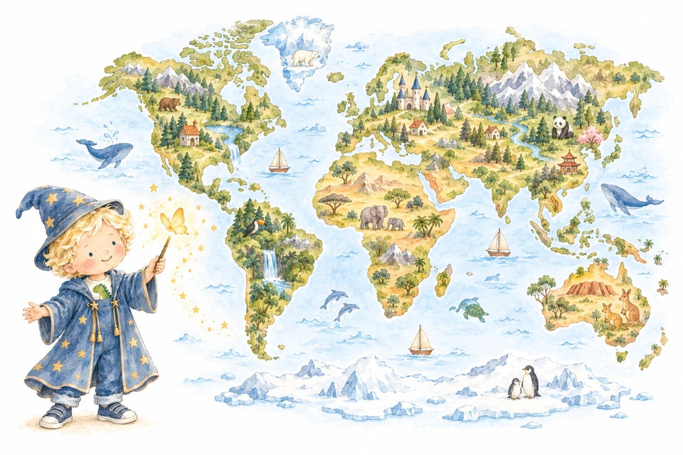
Use my two attached illustrations as the visual references. Reference image 1 is the approved child-character illustration and establishes Harry’s identity; reference image 2 is the wizard scene and establishes his wizard outfit and the watercolour style.

Create one original landscape-format watercolour world-map artwork for a young child’s bedroom, designed to coordinate with Harry’s wizard illustration.

Preserve Harry’s rounded facial shape, small blue eyes, blonde curly-hair silhouette, rosy cheeks, warm skin tone, cheerful expression and three-year-old proportions. Dress him in the same dusty-blue wizard hat and robe with warm golden stars, with his dinosaur T-shirt, denim dungarees and blue trainers visible underneath.

Show Harry as a small, complete figure in the lower-left white margin, holding his wand towards a glowing golden butterfly. Keep him large enough to recognise, approximately one quarter to one third of the image height, without covering the map.

Make the world map the main subject. Use recognisable, simplified continent silhouettes in their familiar arrangement, with generous space between the land masses. Keep the Americas to the left, Europe and Asia as the broad connected landmass to the upper right, Africa below Europe, Australia to the lower right, and Antarctica along the bottom, comfortably inside the composition. Keep these broad continent silhouettes legible beneath their sparse decorative details.

Paint the land in soft sage greens, warm meadow yellows and gentle earthy colours. Suggest the oceans with delicate pale-blue washes, keeping plenty of pure white space.

Add a restrained scattering of magical storybook details: little stone cottages, small castle towers, winding paths, wooded hills and softly painted mountains. Keep the continent shapes clear and the composition uncluttered.

Match the reference’s translucent watercolour washes, delicate pencil outlines, soft pigment variations and warm picture-book character. Use dusty blue and small golden accents to connect the map visually with Harry’s wizard outfit.

Use a balanced 3:2 landscape composition with generous white margins. Keep Harry’s entire hat, body and shoes visible. Maintain a true pure-white surrounding background, with the pale washes contained within the artwork.

Return one finished artwork. No lettering, tiny labels, logos, watermark, frame or room mockup.
Image to attach
Text only. No reference image is required.
Create one original landscape-format prehistoric world-map illustration for a child’s bedroom. Make it a beautiful, airy piece of wall art suitable for a nursery or an older child’s room.
Use a pure white background. Keep the oceans completely white, with generous empty space around the map and between every illustrated detail. White space should occupy at least half the composition.
Show a simplified, broadly C-shaped interpretation of Pangaea during the Late Triassic, around 210 million years ago. Paint the land as a very pale, flat watercolour silhouette in warm ivory, light sand and soft greige. Let the land remain a quiet backdrop.
Use delicate natural-history picture-book illustration, fine pencil outlines and restrained watercolour detail. Keep the overall finish light, elegant and softly hand-painted.
Place a small selection of complete prehistoric creatures around the land: two gentle, long-necked Plateosaurus and two smaller, slender Coelophysis. Give them believable proportions, small eyes and calm expressions. Use muted sage, warm taupe, soft brown and a little dusty blue. Keep each creature small enough to leave plenty of clear space around it.
Add one small, long-tailed early pterosaur above the coast and one little ichthyosaur in an open white ocean area.
Include two tiny volcanoes with faint grey wisps of smoke, a few separate clumps of ferns and cycads, and two or three small conifer trees. Use only a tiny muted terracotta accent at one volcanic crater. Keep these details sparse and widely separated.
Include only the names “Pangaea” and “Panthalassa Ocean” in modest, clearly readable, upright dark-grey lettering.
Use a balanced 3:2 landscape composition. Keep every creature and the complete landmass comfortably inside generous white margins.
Return one finished artwork. No blue ocean fill, saturated colours, dense forests, continuous landscape scenery, dramatic eruptions, oversized dinosaurs, humans, modern objects, extra wording, logos, watermark, frame or room mockup.
Image to attach
Attach one prince illustration for its colours and painting style only. The map prompt excludes people.
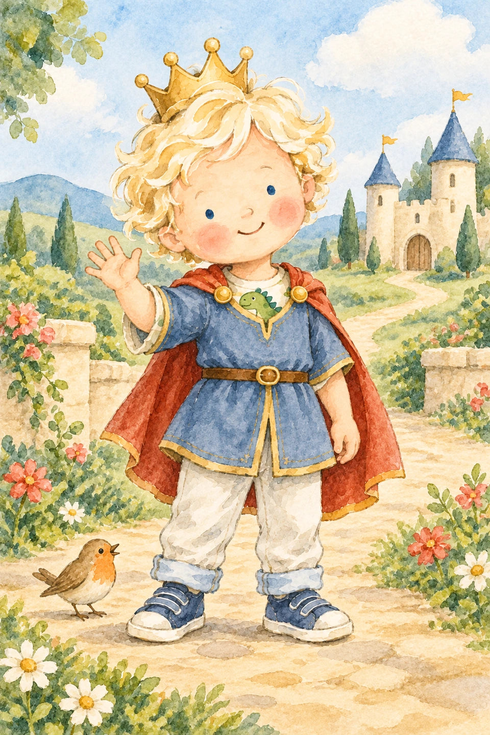
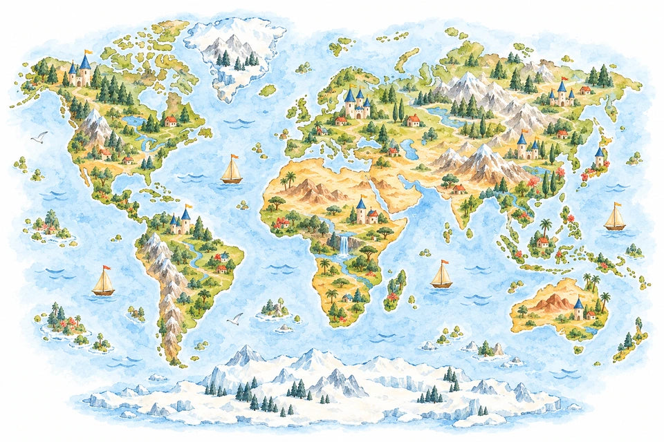
Create ONE original landscape-format watercolour world-map artwork for a child's bedroom.

Use ONLY the single attached prince illustration as a visual reference, and use it solely for its painting style, colour palette, mood and storybook finish. Do not include Harry, the prince, any other person, a portrait, a face, a character inset or a human silhouette. This artwork is the MAP ALONE.

Translate the reference's translucent watercolour washes, delicate pencil outlines, soft pigment variation and warmly painted picture-book simplicity into a fresh map. Match its dusty denim and sky blues, sage and meadow greens, honey gold, cream stone, warm earth colours and restrained terracotta-red accents. Preserve pure white surrounding space.

Make a broad, recognisable illustrated world map fill most of a balanced 3:2 landscape composition. Use familiar simplified continent silhouettes and relative positions: the Americas on the left; Europe and Asia connected across the upper right; Africa below Europe; Australia at the lower right; Greenland above the North Atlantic; and Antarctica as a complete, clearly separate landmass along the bottom. Keep the silhouettes and oceans readable. Leave generous white margins around the complete map.

Decorate the land sparingly with small fairytale stone castles with dusty-blue turret roofs and tiny golden or terracotta flags, gentle wooded hills, little stone cottages, winding warm-coloured paths, softly painted mountain ranges, rivers and lakes. Give the different regions some variety while keeping the whole map visually cohesive. Use a few small warm-red flowers and simple birds as gentle accents where they suit the composition. Suggest oceans with pale-blue washes and a few delicate waves. Keep decorative details within or beside the map without obscuring coastlines or crowding the spaces.

The mood should coordinate naturally with the attached prince artwork: sunny, gentle, adventurous and inviting, with a beautiful hand-painted finish. Keep the map as the sole main subject, without reserving an empty corner for a character.

Return one finished landscape artwork. No people or child characters. No lettering, titles, labels, numbers, logos, watermark, border, frame or room mockup.
Paper-cut map only: 6000 × 4000 PNG · 6000 × 4000 JPEG. These supplied enlargements have approximately 300 ppi metadata; they are resampled from the 1536 × 1024 original, not additional fine detail.
Attach your approved original. This prompt requires file-processing tools; it is not an image-generation request.
No. Downloading and using a file at home is useful on its own. YI2C printing is optional.
The reference-based examples state what to attach beside their prompt. The paper-cut, wooden, landmark, labelled explorer and prehistoric examples are text-only.
These are decorative AI-created interpretations. Coastlines, borders, labels, landmark positions and prehistoric details can be inaccurate. Use a reliable atlas or teaching resource for factual geography.
No. Results can vary. Keep the approved original if you want that exact picture, or attach it when requesting a focused edit.
No. It is metadata relating pixels to a physical size. The original detail, enlargement and intended print size still matter.
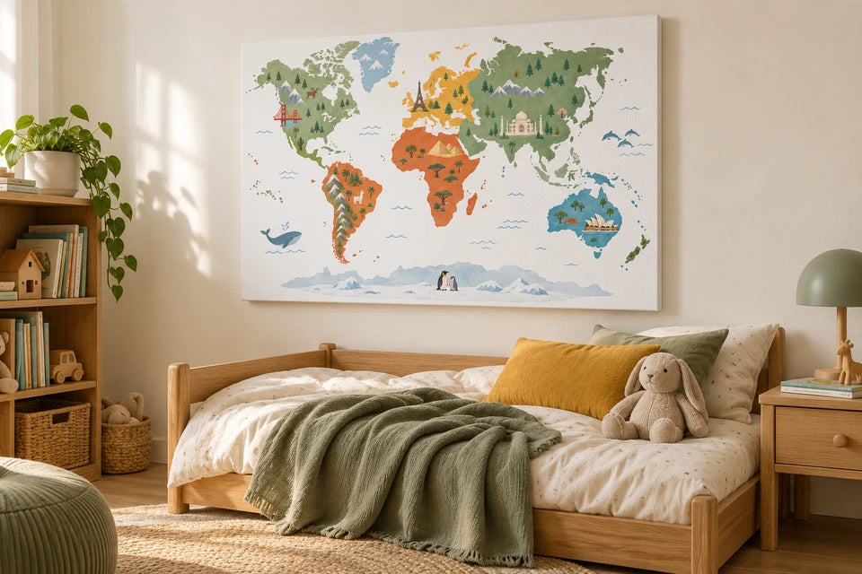
Use the separate original map download. The room images illustrate a display idea and are not artwork files or photographs of a tested finished product.


